Sele Neighbourhood Plan

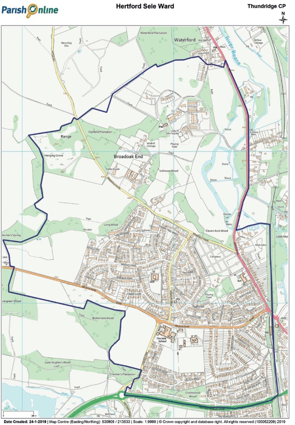
The Sele Neighbourhood Area Plan (SNAP) covers the Sele ward in Hertford. It was drawn up by a Steering Group which included local residents. It is now finalised, ready for adoption by the planning authority (East Herts District Council), and approved at a referendum on May 6th 2021, where an overwhelming 91.5% of valid votes supported the plan being adopted by East Herts District Council.
The Vision for Sele in the Neighbourhood Plan
The community of Sele ward will have easy access to attractive and historic countryside that is protected for future generations; be a vibrant and healthy community with a variety of accessible, appropriate and affordable facilities and public services; provide new housing developments that respect the principles of sustainability for climate change, accessibility, suitability and affordability; and ensure that that the transport infrastructure provides improved links to Hertford and surrounding towns by bus, foot and bicycle.
Now it is adopted, it will become an important tool to:
- Protect local green spaces and important views
- Enhance community and cultural facilities
- Preserve listed buildings and structures of historical and architectural importance
- Improve local roads, paths and parking
- Promote affordable housing and sympathetic development
In preparing the plan, the Steering Group consulted widely with the community, local groups and other consultees, following statutory guidelines and was supported by Hertford Town Council. It has also been subjected to an independent Examination to ensure compliance. The plan now provides a clear basis for planning through to 2033 and can only be over-ruled in exceptional circumstances
Click here to view the Sele Neighbourhood Area Plan.
